Blissfield, Ohio
Unincorporated community in Ohio, U.S.
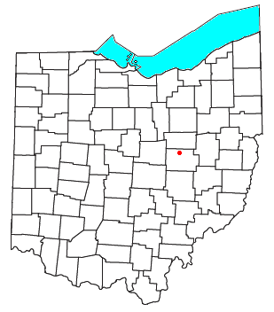
Blissfield is an unincorporated community in southwestern Clark Township, Coshocton County, Ohio, United States.[1] It has a post office with the ZIP code 43805.[2] It lies along State Route 60 between Warsaw and Killbuck.
History
Blissfield was laid out in 1890 when the railroad was extended to that point.[3] The community derives its name from Bliss, a grandson of one Abram Weatherwax.[4] A post office was established at Blissfield in 1889 and remained in operation until 2002.[5]
References
- ^ U.S. Geological Survey Geographic Names Information System: Blissfield, Ohio
- ^ USPS – Cities by ZIP Code Archived October 8, 2007, at the Wayback Machine
- ^ "HISTORY OF BLISSFIELD, OHIO". Walhonding Valley Historical Society. Retrieved December 7, 2015.
- ^ Overman, William Daniel (1958). Ohio Town Names. Akron, OH: Atlantic Press. p. 15.
- ^ "Coshocton County". Jim Forte Postal History. Retrieved December 7, 2015.
- v
- t
- e
Municipalities and communities of Coshocton County, Ohio, United States
County seat: Coshocton
- Coshocton

- Baltic‡
- Conesville
- Nellie
- Plainfield
- Warsaw
- West Lafayette
communities
- Bacon
- Bakersville
- Blissfield
- Cavallo
- Chili
- Cooperdale
- Helmick
- Isleta
- Keene
- Layland
- Linton Mills
- Maysville
- Mohawk Village
- Morgan Run
- New Bedford
- New Guilford
- New Moscow
- New Princeton
- Newcastle
- Orange
- Spring Mountain
- Tiverton Center
- Tunnel Hill
- Tyrone
- Wakatomika
- Walhonding
- West Bedford
- West Carlisle
- Wills Creek
‡This populated place also has portions in an adjacent county or counties
- Ohio portal
- United States portal
Authority control databases | |
|---|---|
| International |
|
| National |
|
40°23′59″N 81°57′56″W / 40.39972°N 81.96556°W / 40.39972; -81.96556
 | This Coshocton County, Ohio state location article is a stub. You can help Wikipedia by expanding it. |
- v
- t
- e


