Walhonding, Ohio
Unincorporated community in Ohio, U.S.

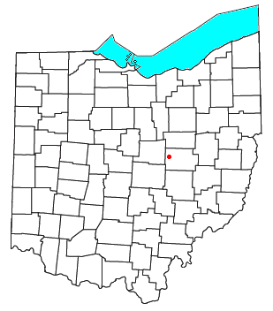
Walhonding is an unincorporated community in northern Newcastle Township, Coshocton County, Ohio, United States.[1] It has a post office with the ZIP code 43843.[2] It lies at the intersection of State Routes 206 and 715.
History
Walhonding was platted in 1841, when construction of the Walhonding Canal reached that point.[3][4] A post office called Walhonding has been in operation since 1839.[5]
References
- ^ U.S. Geological Survey Geographic Names Information System: Walhonding
- ^ USPS – Cities by ZIP Code
- ^ Graham, Albert Adams (1881). History of Coshocton County, Ohio: Its Past and Present, 1740-1881. A. A. Graham. pp. 575.
- ^ Hunt, William Ellis (1876). Historical Collections of Coshocton County, Ohio. R. Clarke & Company. pp. 5.
- ^ "Coshocton County". Jim Forte Postal History. Retrieved December 7, 2015.
- v
- t
- e
Municipalities and communities of Coshocton County, Ohio, United States
County seat: Coshocton
- Coshocton

- Baltic‡
- Conesville
- Nellie
- Plainfield
- Warsaw
- West Lafayette
communities
- Bacon
- Bakersville
- Blissfield
- Cavallo
- Chili
- Cooperdale
- Helmick
- Isleta
- Keene
- Layland
- Linton Mills
- Maysville
- Mohawk Village
- Morgan Run
- New Bedford
- New Guilford
- New Moscow
- New Princeton
- Newcastle
- Orange
- Spring Mountain
- Tiverton Center
- Tunnel Hill
- Tyrone
- Wakatomika
- Walhonding
- West Bedford
- West Carlisle
- Wills Creek
‡This populated place also has portions in an adjacent county or counties
- Ohio portal
- United States portal
40°21′34″N 82°08′49″W / 40.3595114°N 82.1468151°W / 40.3595114; -82.1468151
 | This Coshocton County, Ohio state location article is a stub. You can help Wikipedia by expanding it. |
- v
- t
- e


